The last contest from Ole (http://overburdenblog.blogspot.ca/2016/04/where-on-google-earth-555.html) was very hard for me as a non-geologist. I was able to pick out the "small" sinkholes, but Google searching took me to Guatemala, Japan and many other parts of the world that did not help. The flatness of the image did not help! Ole's hint helped a bit as it directed me towards something that had a special entrance, which turned out to be an underground river.
Luck intervened and I happened upon the Yucatan as a area of the world where there were underground rivers, and the sinkholes were "doors" into them.
Here is contest #556:
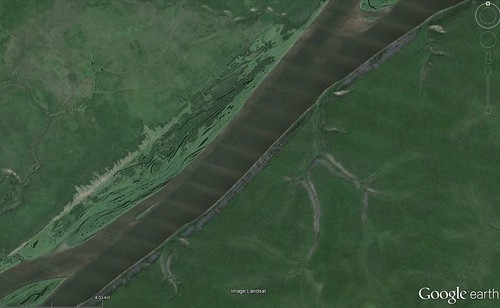
Click
here for a bigger image.
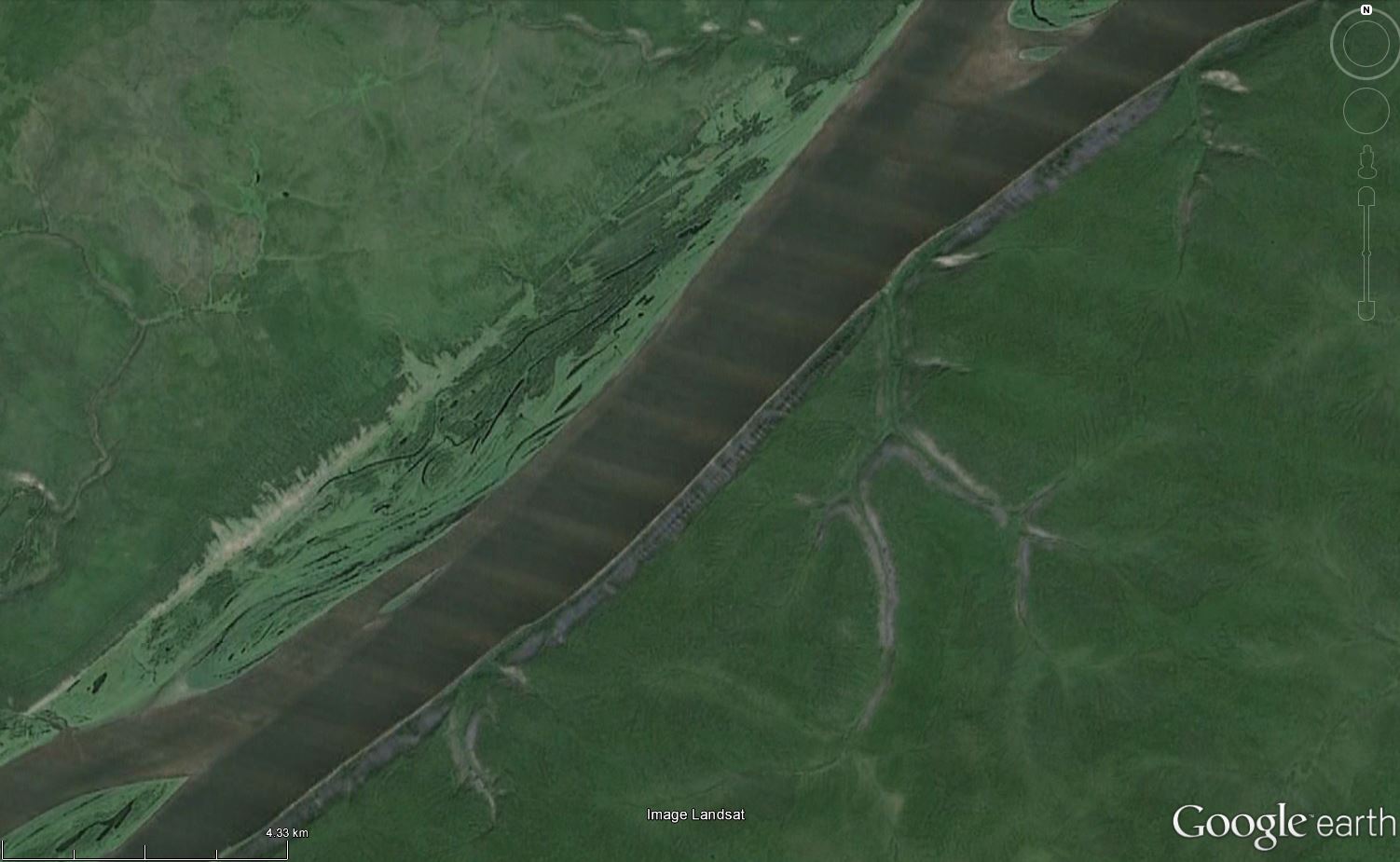
60°56′54.4″N 125°59′6.1″E
ReplyDeleteLena Pillars - Ле́нские столбы́, tr. Lenskiye Stolby. The pillars consist of alternating layers of limestone, marlstones, dolomite and slate of early to middle Cambrian age, which are weathered, producing the rugged outcrops.
When I saw this photo, I thought it was going to be difficult. Then I saw the ice ridges on the left bank of a very large river with very old weathered rocks around. So a very large river that freezes over in winter, in an area that was not glaciated in the last ice ages - that limits the selection. I started with Lena, and that was that.
Right on, Ole. Where next?
ReplyDeleteNext stop is Here: http://overburdenblog.blogspot.no/2016/04/where-on-google-earth-557.html
ReplyDelete